On this page, you’ll learn how to move around SEED Maps and view data using keyword search and interacting with layers.
How to navigate the SEED Map
There are many ways to navigate and find data on the SEED map.
Start by opening a map
You can open a map in SEED by selecting either:
- 'View on a map' in the top menu, or
- The ‘View on Map’ button on the dataset card
Next, zoom in and out of the map
You can zoom in and out using:
- The +/- buttons
- Your mouse wheel
- Double-click or tap a spot on the map
- Hold shift and draw a box
How to add layers to view SEED Map data
In this section, you’ll learn how to:
- search the layer catalogue using keywords
- add and move between map data layers
- toggle layers on and off
- adjust layer transparency
- view attributes
- add your own data layer
To add map layers
- Select ‘Add layers from the catalogue’.
- You can also use keywords in the location search bar at the top of the map to search for data layers.
Select the data layers you want and close the catalogue.

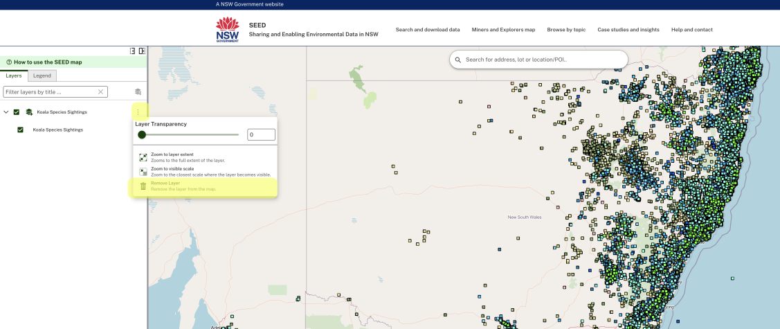
If you can't see the data
Some data is only visible at certain scales. If you can't see it:
- click the three dots, then
- ‘zoom to visible scale’ or zoom in.

Click and drag to reposition the map.
Use layers
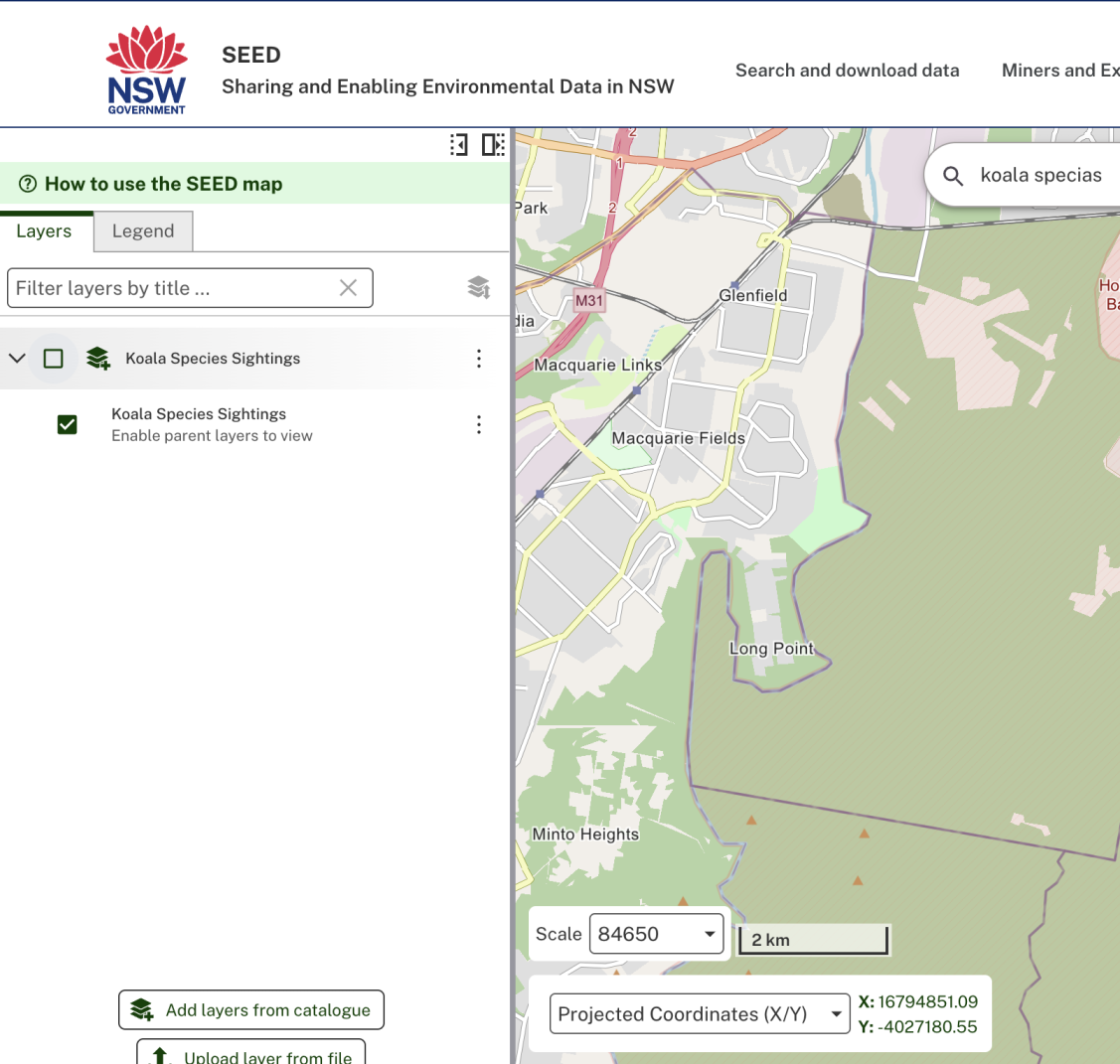
Use the ‘layers’ tab in the left panel to toggle data on and off.
Adjust layer transparency
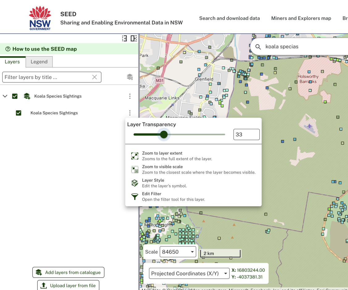
- Select the three dots on a layer and drag the transparency slider up or down, or
- Enter number into the box.
Understand the features
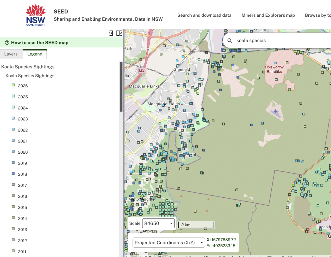
The legend tab in the left-hand panel explains the map features.
View attributes
To view the attributes of a map layer with features (vector, not rasters):
- Click on the map features
- This will display a pop-up panel with listed attributed.
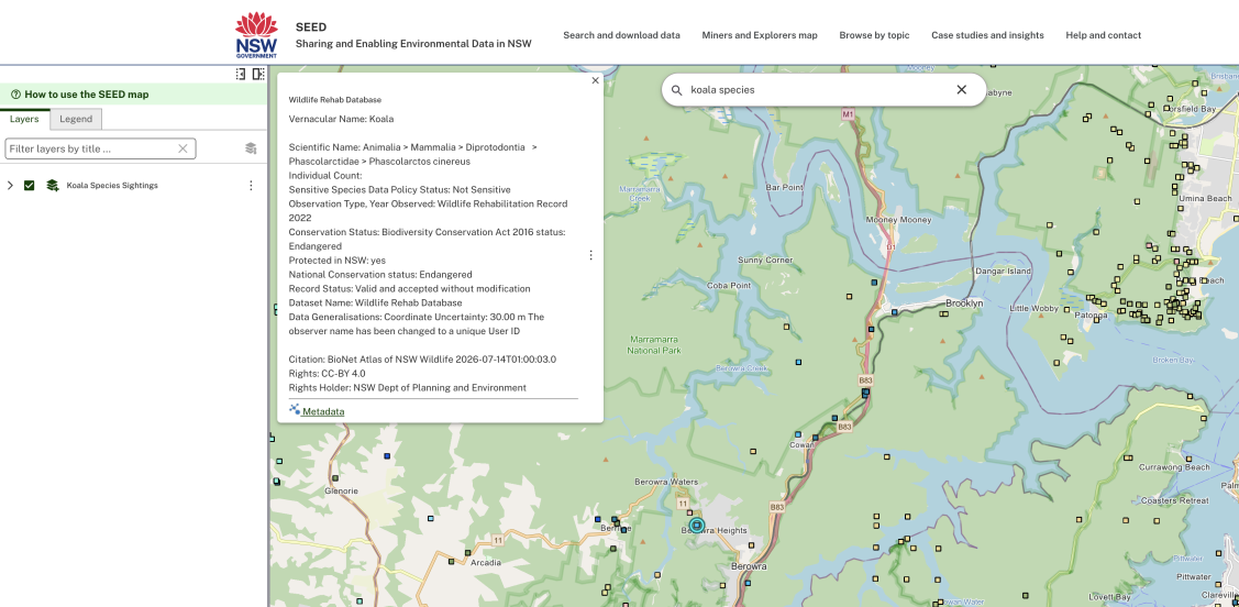
If there are multiple map features selected:
- Use the 'Tools' button to 'switch results view'
- This will display the table.

View your data
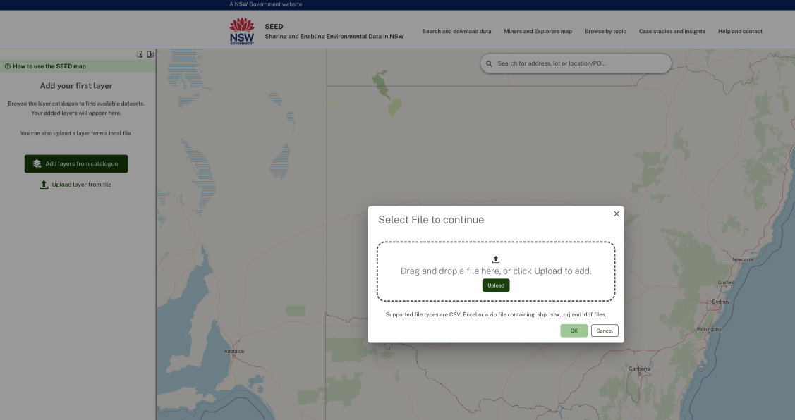
To view your own data on the map click ‘Upload layer from file’.
Clear map data
To clear map data click the 3 dots and remove the layer.