Enhanced search user guide - spatial/map search
How to use the spatial search
Using the spatial search, users can search for environmental data of their region of interest by Local Government Area (LGA), adding coordinates or by manually drawing a bounding box.
Results are filtered by the location you enter, and are weighted so that datasets that more closely match the area you have entered will be on the top of the list.

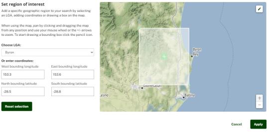
To start your search, click on the map to open the pop-up and use one of three options to enter your search area:
Select the LGA of interest from the list

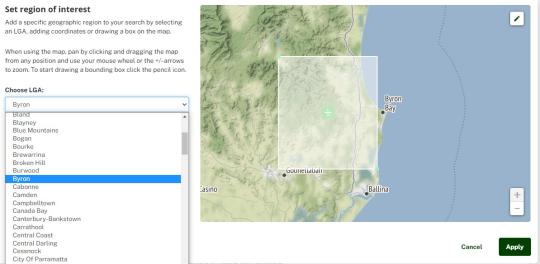
Enter latitude and longitude coordinates of the bounding box, or

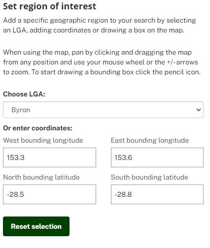
Draw your own bounding box by clicking and dragging the map and when ready to select your area click on the pencil icon and draw the area.

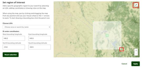
Once you have entered an area click ok to apply or cancel to go back to the search page without applying a spatial filter.
Your spatial search will now be applied. You can adjust your spatial search at any time by dragging the corners on the map or picking a new location entirely using any method, and clicking ‘Apply’.
Watch the video below for a demonstration on using spatial search.
Saving your search
You can save an entire search and send a link to your search to anyone anytime. If you are logged in with the dataset subscription functionality these are more persistent, but you don’t need to create an account/log in to save. As long as your cache isn’t cleared, the search will be saved.


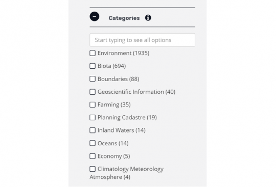
Filters
Users can now navigate filters with many options more easily. You can search for a term and expand the filter if required rather than having them open all at once. Results are weighted by number of matching items. Filter clearing has also been improved.