
Help shape the future of SEED. Share your feedback in our Annual User Survey.  Your input will directly inform upgrades to the SEED program's usability, accessibility, and engagement tools, helping shape the future of environmental data for NSW. 

Take the 5min survey here

SEED map with layers

Featured tool: Exporting SEED map data

Published on Wednesday, 24 March 2021

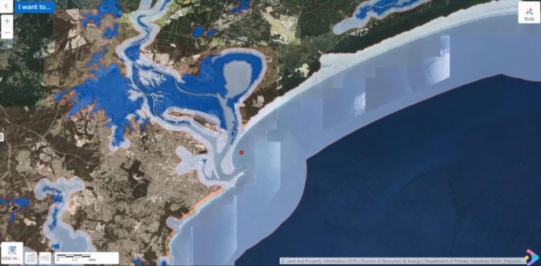
The SEED map allows you to search, visualise and interact with environmental data.

Many of the datasets in SEED can be viewed and combined on the SEED map, and can be exported as a spreadsheet or a shapefile.

Watch this video to see how to add layers to the map and export the data.

SEED Newsletter

Stay up to date with our latest news and events

We will not send you spam. Unsubscribe anytime. View our Privacy policy