World Soil Day is celebrated on 5 December each year to reflect on the importance of soil health, and support the sustainable management of soil resources.
Scientists from the Department of Planning and Environment (DPE) have developed an app to make important soil information accessible to the community.
Introducing Soils Near Me NSW, a soil data app
Soils Near Me NSW is a new app that brings soil information to the community in a simple and practical way.
Soil plays a vital role in the production of the food we eat and fibre for our clothes. The quality and quantity of our water supply is also intrinsically linked to the health of our soils.
Why we care about soil
Most of us tend not to think about soil very much - it’s that brown stuff that keeps the plants standing up in our gardens, stops our houses from falling down and that our kids and dogs like to roll around in. Soil plays its greater role in the environment silently, often invisibly and (generally) very slowly.
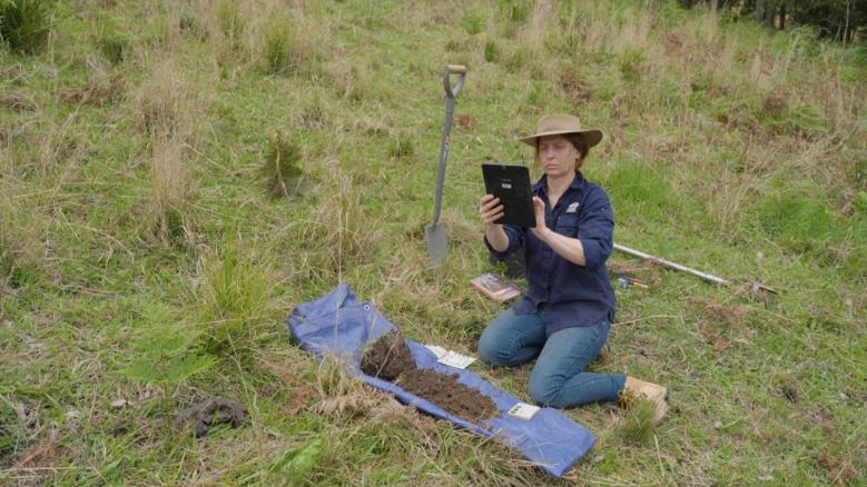
Senior Scientist Humphrey Milford says “Managing and preserving our soils is really important. To do that, we need to know something about those soils: where they occur, what their characteristics are, what land uses are suitable and which ones are not. If soils become degraded, how can we fix them? For all of these things - we need soil information.”
Scientists from the Department of Planning and Environment (DPE) and its predecessors have been collecting, analysing, storing, delivering and sharing soil data for over 80 years. In more recent decades, scientists, researchers and experts from other NSW agencies, universities and industries have also contributed to this enormous data set which is one of the largest in Australia and significant globally.
For many years, this treasure trove of soil information was available only to a small community of connected scientists. The latest step forward is the release of the Soils Near Me NSW app, available free for Android and Apple mobile platforms.
Accessing the 3 most popular soil datasets on SEED
Soils Near Me NSW draws on the three most popular soil datasets on SEED. These datasets are consistently found in the SEED Top 10 Datasets each month.
|
Dataset |
Total views Nov 2022 |
Total unique users Nov2022 |
|
9,740 |
5,720 |
|
|
4,900 |
3,350 |
|
|
2,730 |
1,780 |
Rigorous data you can trust
The app provides maps of key soil parameters directly to anyone managing or interested in soil in a simple, easy, and accessible form.
Soils Near Me NSW is underpinned by a suite of information systems, platforms and over 100 datasets. Our data aligns with rigorous nationally-standardised terms and methods and is based on many thousands of observations and millions of individual pieces of land and soil data.
Brian Jenkins, Senior Team Leader says “The Soil and Landscape Assessment Team are a small, but committed team that delivers soil data and information to meet the needs of the NSW government and community and can be relied on to make informed and sustainable land and soil management decisions.”
Download the app today and start exploring the soils near you!
Find out more
Search Soils Near Me NSW in your favourite app store or go to the Soils Near Me webpage